


 Simple, one need, one smart-map

Simple, one need, one smart-map
Multisource geographical web platform
eCarto is a web based geospatial collaboration platform that allows to create simple maps
connecting complex backends and all kinds of georeferenced data.

● Monthly base map
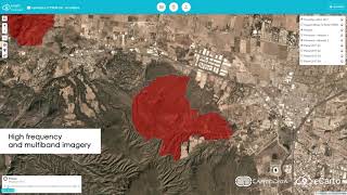
● High frequency multi-band imagery
● *Real time satellite video
● LiDAR point cloud
●Oblique imagery viewer (compatible with Oblix, Osprey and other cameras)
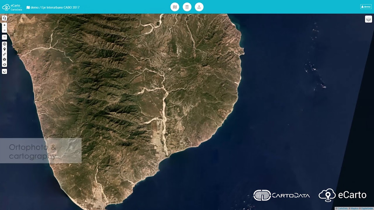
● Ortophoto and cartography

● Timeline
● 3D Modeling
● ObliDrone (drone oblique imagery viewer)
● LiDAR point cloud
● Terrestrial panoramas - Vision360
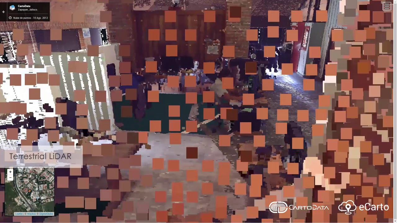
● Terrestrial LiDAR

● Mobile panoramas
● Multimedia (photos, voice notes, video)
● Online discussions

● Database linking
● Web & geographical services WMTS. WMS, WFS
● Other systems integration


Multisource geographical web platform
eCarto is a web based geospatial collaboration platform that allows to create simple maps
connecting complex backends and all kinds of georeferenced data.


PLATFORM FUNCTIONALITY EXTENSION
Multifunctional
Through eCarto’s API, create geographical maps in real time or more complex apps and plugins from anyplace with an internet connection. You can upload satellite raster layers, orthophoto and drone surveying.
FUSE ALL KINDS OF INFORMATION
eCarto is a powerful integration tool
Connect all types of data including: aerial (manned and unmanned), LiDAR, oblique imagery, terrestrial panoramas, mobile acquired data, existing data bases, webservices and legacy systems into a single decision making tool used in many diverse industries.


DECISION MAKING MADE EASY
A multidisciplinary platform
eCarto enables decision makers to get access to their geospatial data in an ubiquitous manner from a computer, tablet or smartphone. Shifting the collaboration paradigm from a wall to a map that indexes knowledge in space.
PLATFORM FUNCTIONALITY EXTENSION
Multifunctional
eCarto originated as a platform for Forestry management systems back in 2001 used by CONAFOR. It has ever since evolved into a solid core for complex solutions used by private companies, municipal, estate and federal governments.
FUSE all kinds of information
eCarto is a powerful integration tool
Connect all types of data including: aerial (manned and unmanned), LiDAR, oblique imagery, terrestrial panoramas, mobile acquired data, existing data bases, webservices and legacy systems into a single decision making tool used in many diverse industries.
Decision making made easy
A multidisciplinary platform
eCarto enables decision makers to get access to their geospatial data in an ubiquitous manner from a computer, tablet or smartphone. Shifting the collaboration paradigm from a wall to a map that indexes knowledge in space.

Create apps for every need
FULLY CUSTOMIZABLE
eCarto is a powerful tool for managing Big Data with a large capacity for adaptability that allows you to create applications such as Groma, an app that allows the georeferencing of image, audio and video data by means of classification through tags and fields to execute reports in real time.
eCarto flavors
On premise
Cloud
Hybrid
eCarto existing users


